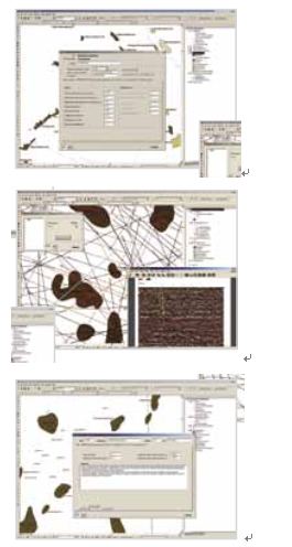
A geoinformation system has been developed that includes a suite of communications products, software and information resources that provide accumulation, storage, analysis and interpretation of various data in the form of texts, tables, graphs, and cartographic materials. Practical application of the system is to provide complex information about oil and gas deposits in the Timan-Pechora basin in support of the state-run public authorities in the regions and for the needs of scientific research organizations and companies offering design and survey services.
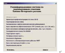
The system includes a set of data and maps that cover geological and geophysical studies of the region, the tectonic and geological gas-and-oil zoning, and the prerequisites for deposits accumulation in the Timan-Pechora basin. The developed system makes it possible to carry out forecasting and appraisals of explorations of hydrocarbons in the territory of Timan-Pechora basin. The system is capable of efficient data updating, utilizes authoring tools for analysis and interpretation of data, and is characterized with an optimal set of software; all that considerably facilitates and qualitatively improves the solutions of problems in basic and applied research.